 Lizmap
Lizmap, the perfect web companion for Qgis
Create Web map applications with QGIS® and Lizmap Web Client.
Designed by 3Liz, Lizmap Web Client allows in QGIS® Desktop to create Web map applications.
These can be a simple publication of a map intended for the public in order to promote geographic information, like the demonstration map of the landuse in Narbonne.
Maps can also integrate feature editing capabilities for a collaborative creation of geographical information, like the map about the faunistic observations in Polynesia.
It is also possible to integrate dedicated features like the Paris by night demonstration map.
Lizmap was used by some of our customers to create:
- an application to promote a regional park
- an application for managing a public transport network (relationship between establishments / bus stops / bus lines)
- an application for the valuation of risk prevention plans
- an application for the valuation of agricultural production data
- an application for valuing land use information
- and many others...
The advantages of Lizmap
- The maps faithfully reproduce the cartographic rendering made in QGIS®.
- The cartographic application editor uses only one software: QGIS®.
- Web interface adapts to different screen sizes (responsive interface).
- An integrated printing function.
The steps of publishing with Lizmap
Prepare your map applications
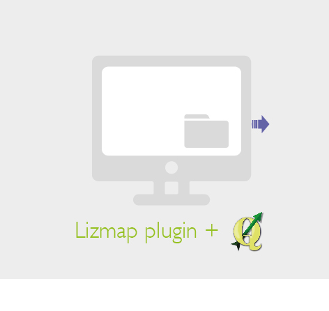 The editor configures in QGIS® the options for each map and the tools that will be available within the map application with the Lizmap plugin.
Transfer your data and QGIS® projects
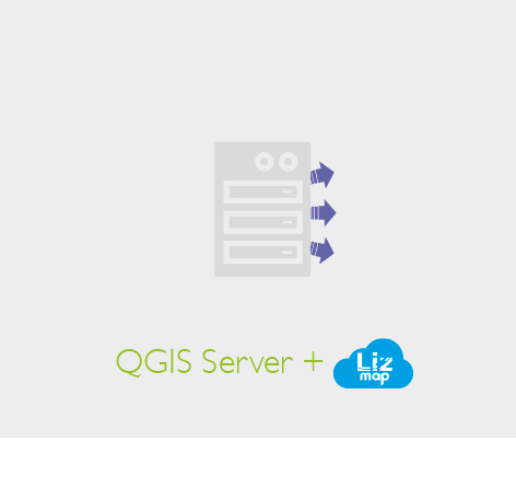 The Lizmap web client is installed on a map server with QGIS® Server. The publisher places its QGIS® projects and the Lizmap configuration on the server.
View on the Web
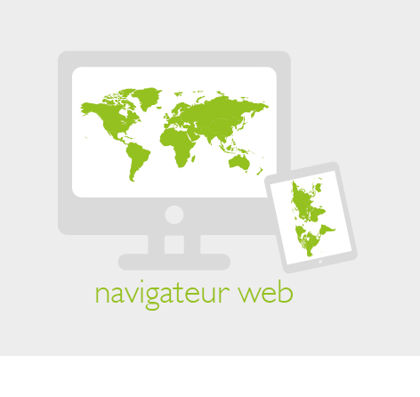 Users can access map applications with their web browser (Firefox, Chrome, Safari, Opera, Edge, etc.) and use the tools made available by the publisher.
The advanced features of Lizmap
- A cache system for publishing WMTS service
- A right's management system allowing access control to applications but also to tools
- A media management system for linking documents, images, videos to geographical objects
- A dynamic data filtering system for a specific display
- A modular system to develop and integrate business tools (French Cadastre, French ADS, etc.)
Discover Lizmap
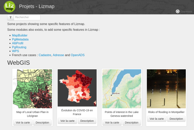
Our demo instance offers different examples of using Lizmap.
Convinced? Choose the plan that best suits your needs!